Earth Rotation Information System (ERIS)
The aim of ERIS is to describe the rotation of the “System Earth” taking into account the influence of the various sub-systems of Earth. Guiding experts as well as interested non professional users ERIS provides

Observational and analytical data
A structured access to all relevant and availlable data produced by several institutions and organisations
Methodological information and interactive tools
Interactive analysis and visualization of data allowing to execute typical and frequently needed operations on the availlable datasets using an intuitive web interface
Modells and simulations
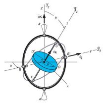
Simulation and visualisation of basic models of Earth rotation giving an impression of the underlying theory and enabling a comparison of simulated data with observational data

